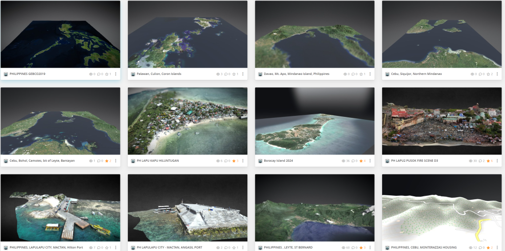

Benefits of 3D Maps Displayed in Augmented Reality
1. Enhanced Decision-Making for Investments
- Visual Detail and Context: 3D AR maps provide a more comprehensive view of the terrain, property boundaries, and existing infrastructure, allowing investors to assess the potential of a site without physically visiting it. This visual context can be crucial for decisions related to real estate development, commercial investments, or resource allocation.
- Data Integration: AR can overlay statistical data, demographic information, and economic indicators directly onto physical locations, providing investors with a holistic view of the area’s potential.
2. Infrastructure Development and Planning
- Project Visualization: Engineers and planners can visualize infrastructure projects in their real-world locations through AR maps, helping to foresee potential issues and plan solutions. This includes visualizing how new structures will affect existing systems like roads, waterways, and power lines.
- Environmental Impact: AR maps can help predict the environmental impact of projects by simulating changes in landscapes, such as flood risks with new construction. This aids in sustainable planning and compliance with environmental regulations.
3. Situational Awareness
- Emergency Response: For disaster management, 3D AR maps can provide real-time data on affected areas, helping responders navigate debris or flooded areas safely and efficiently.
- Security Planning: In security and defense, AR maps can enhance situational awareness by providing live data overlays, including troop movements, terrain features, and hostile tracking.
4. Historical and Cultural Context
- Educational Uses: AR maps can offer historical overlays that show changes over time in a region, which can be valuable for educational purposes or in making decisions about the preservation of cultural sites.
- Tourism Development: By displaying potential future developments in tourism through AR, stakeholders can better plan and invest in facilities that enhance visitor experiences while preserving the natural and cultural heritage of the area.
Conclusion
The integration of 3D mapping technology in augmented reality significantly enhances the depth and breadth of information available for decision-making across various fields. For investors, infrastructure planners, and those involved in disaster management or security, these tools offer a powerful means to visualize, plan, and execute projects with a higher degree of precision and foresight. The technology not only supports better decision-making but also contributes to more sustainable and informed planning processes.

Leave a comment