
More context
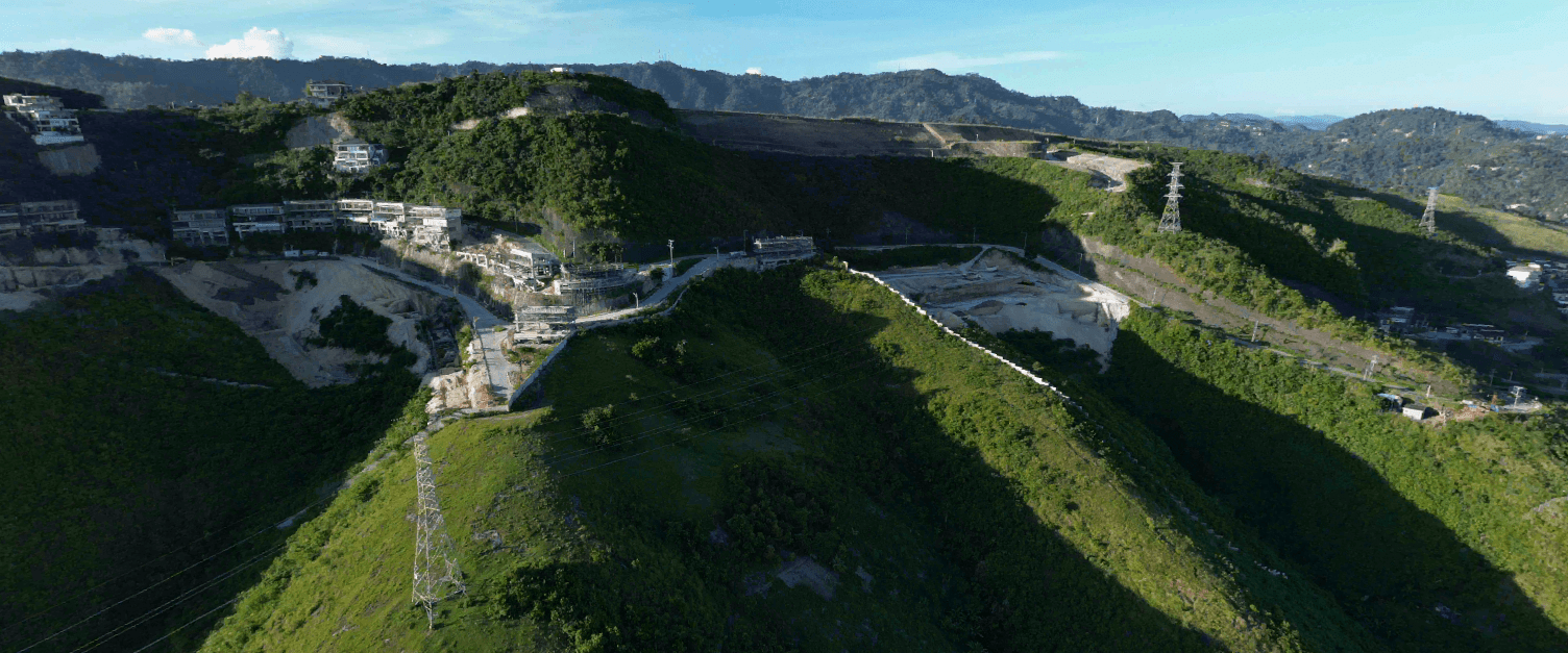
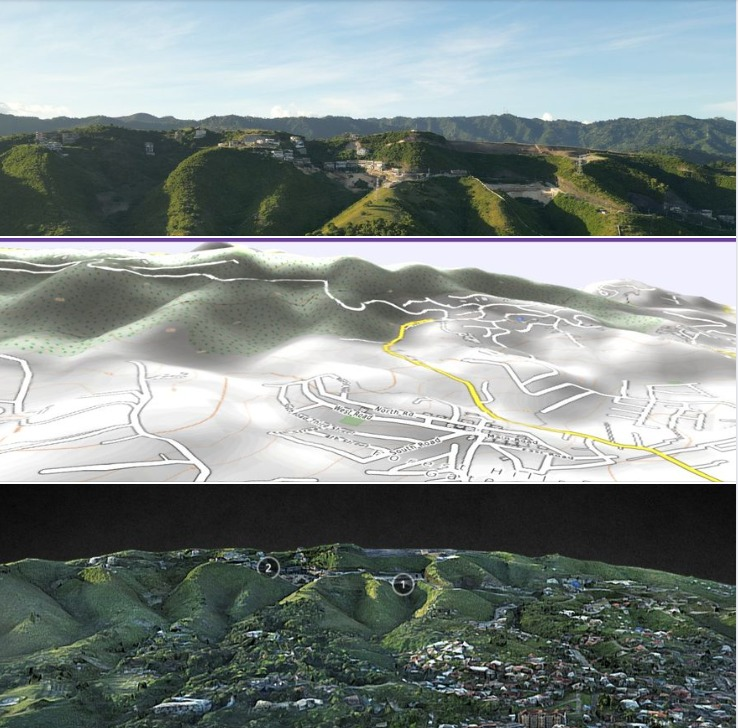
The model combines a terrain map with a 3D mesh of the RISE and PRIME terraced developments at Monterrazas in Guadalupe, Cebu City. Hillside projects like this are hard to understand from 2D plans; a 3D terrain model shows slopes, views and access roads at a glance.
Buyers, architects and sales teams can explore it online on Sketchfab or in AR. Read more about 3D AR maps of the Philippines.
Related
- 3d AR Maps of the Philippines by Bart Sakwerda
- Mapping Cebu in all dimensions.
- Budots Media, services for hotel resorts in LapuLapu City, Cebu, Philippines.
- DJI drone 3D production: from flight to Gaussian splat
- Digital twins in the UK: building hotels in 3D from floor plans
Translations
Polski
Skan 3D tarasowego osiedla RISE w Monterrazas, Guadalupe, Cebu: mapa terenu i model siatki 3D inwestycji RISE i PRIME, dostępny na Sketchfab. Model 3D pokazuje nachylenie, widoki i dojazdy lepiej niż plany 2D i pomaga kupującym, architektom i sprzedawcom.
日本語
セブ市グアダルーペのモンテラサスにある段々状の住宅開発RISEとPRIMEの地形図と3Dメッシュモデル(Sketchfabで公開)。斜面の開発は2D図面では分かりにくいですが、3D地形モデルなら勾配、眺望、アクセス道路が一目で分かります。
Filipino
3D scan ng terraced na RISE sa Monterrazas, Guadalupe, Cebu: terrain map at 3D mesh ng RISE at PRIME, makikita sa Sketchfab. Mas malinaw ang dalisdis, tanawin at daan sa 3D kaysa sa 2D plan, kaya nakakatulong ito sa mamimili, arkitekto at sales team.
العربية
مسح ثلاثي الأبعاد لمشروع RISE المدرّج في مونتيرازاس، غوادالوبي، سيبو: خريطة تضاريس ونموذج شبكي ثلاثي الأبعاد لمشروعي RISE وPRIME متاح على Sketchfab. يوضح النموذج المنحدرات والإطلالات والطرق أفضل من المخططات الثنائية، ويفيد المشترين والمهندسين وفرق المبيعات.


